Proxy Falls
Stats
Fitness Level: Easy
Experience: Easy
Distance: 1.7 mile loop
Elevation: 200 feet
Open: May through November
Good for: Day hiking, photography, kids
Usage: Crowed on summer weekends and parking is limited
Accessibility: Honda Civic (the parking lot is paved)
Quick Take
Proxy Falls is my go to hike when friends or family come to Eugene and ask to go on an adventure outside of town. This easy trail offers two breathtaking waterfalls for the price of one. Just be sure to check weather and road closure conditions since the road is usually closed from November through May.
Trip Report
Our last trip to Proxy Falls was in early July, when Tessa’s friend Heidi came to visit from Southern California. My friend Rachel also happened to be in town from Seattle, so we decided to make a group trip out of it.
The route to Proxy can be painstakingly slow, clogged with motor homes and out of towners who don’t know how to drive through hills or curves. However, it is also quite beautiful. Oregon highway 126 parallels the McKenzie river as it twists down from the mountains. At times it feels like you are racing through a natural tunnel, with the way the foliage overhangs the blacktop… well, at least until you get stuck behind a slow moving Camry.
No trip up the McKenzie would be complete without a stop at Harbicks, err Blue Sky Market of Rainbow (yes the community is known as Rainbow). This is a cute little general store, with a wide variety of overpriced food and camping supplies. The star item is their fried chicken on a stick. You wouldn’t think that roadside fried chicken would be any good (in Oregon at least) but this stuff is surprisingly delicious and fairly priced. Buy a skewer with a single jojo on the side and you’ll be happy! As a word of advice, don’t wait until the end of your stop to buy your chicken on the stick, it’s not uncommon for a sudden crowd to show up and buy out their whole supply before you can get in line. Also note that the Blue Sky Market bathroom quite likely has the last flush toilet you will see until you head down the mountain, so use it accordingly.
With our stomachs full of chicken, we got back in the car and continued up the few miles of highway 126 before taking a right turn onto highway 242. Experienced drivers in small cars will eat up every turn of this well paved forest road. However, the narrow lanes, sharp turns, and steep cliffs are hair raising for most drivers and passengers. It sure is pretty though, especially in late fall or early spring.

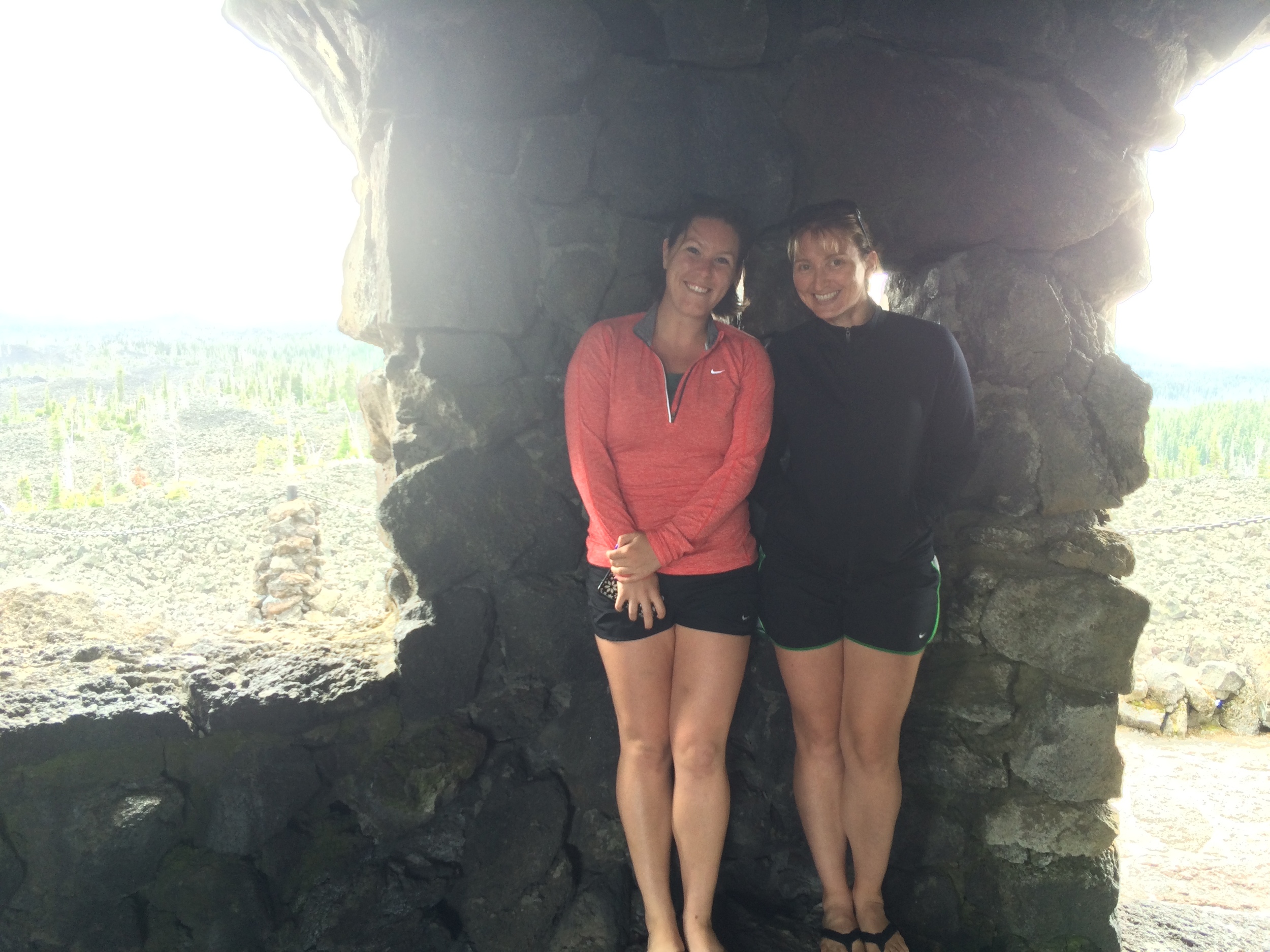
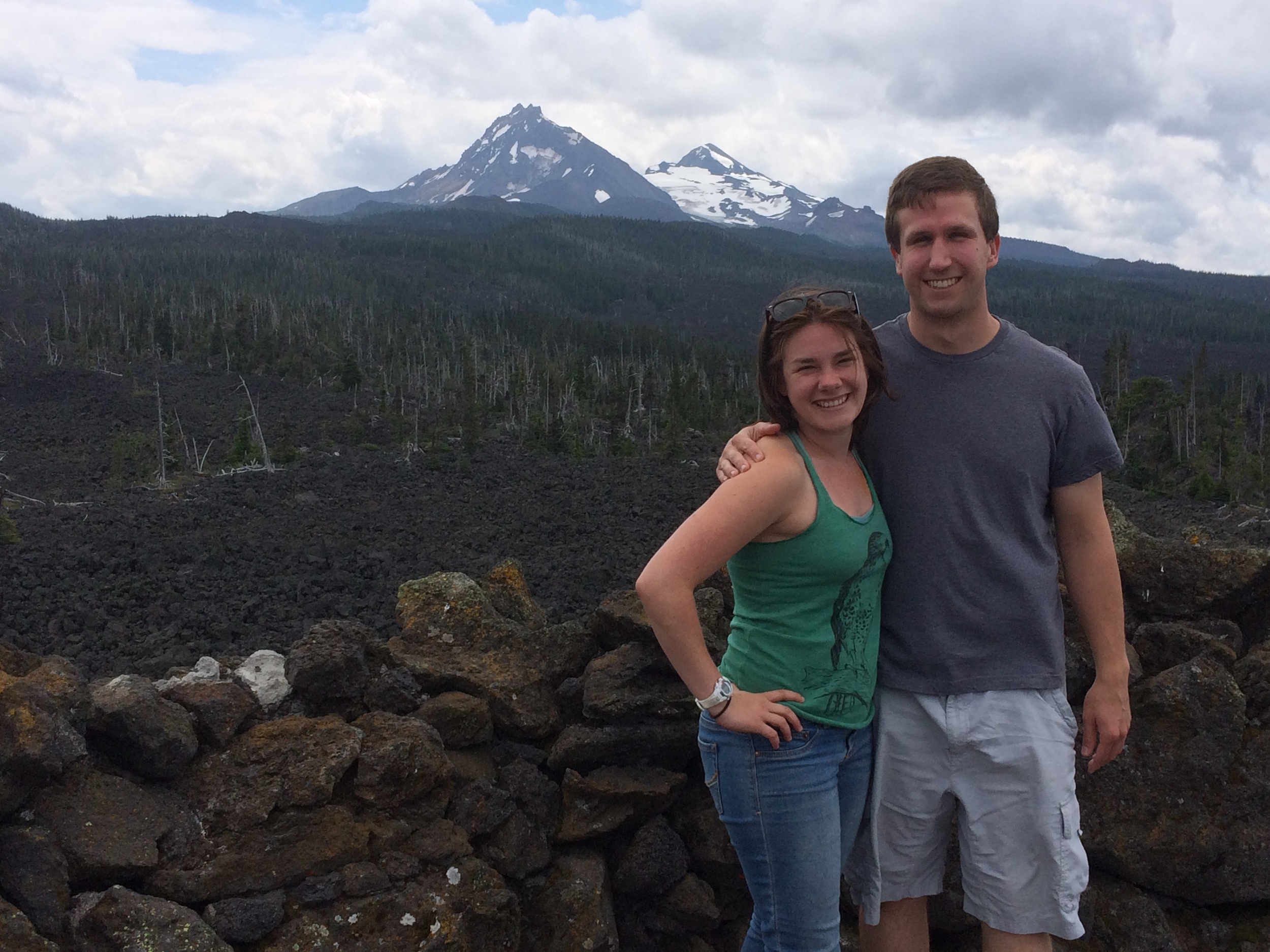
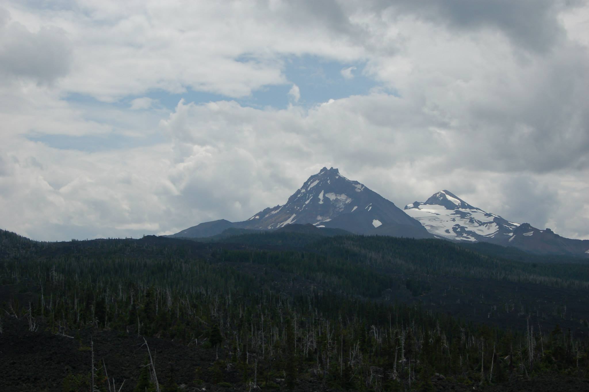
On our way up we passed by the trailhead for Proxy Falls to first visit the Dee Wright Observatory at the top of 242. This structure is located in the middle of an otherworldly lava field (NASA trained astronauts here in the 60’s because it resembles the surface of the moon). The Observatory itself rises like a castle out of the lava field, and is even built out of lava rock. We climbed to the top for a photo opp with a 360 degree view. From the Observatory’s upper deck you can see as far as Mt. Hood on a clear day, with many other peaks standing prominently near by. The lower level offers its own unique perspective, with little windows cut into the walls to highlight/identify near by mountains. Even though it was mid-summer, the wind was causing Tessa and Heidi’s Southern Californian blood to freeze, so we headed back to the car for the trip back to Proxy Falls.
Tessa Failing at not blinking on top of the observatory. Photo Credit: Rachel Lytton
Artsy shot of the peak identifier on top of the observatory. Photo Credit: Rachel Lytton
Tessa and I peaking out the tiny "mountain frame" windows. Photo Credit: Rachel Lytton
Proxy Falls loop, bring good shoes for the rocky trail!
Parking at Proxy Falls can be a little tricky because of the trail’s popularity. There are paved pullouts on both sides of the road that require parallel parking, which wouldn’t be so bad if it weren’t for the fast moving cars on 242, and blind turns on both sides of the parking area. It is also important to note that Proxy Falls requires a parking permit, so make sure to pick up your Northwest Forest Pass ahead of time (I believe Blue Sky Market sells them). This is one of the few trailheads where I regularly see rangers, so I would advise against parking without a permit.
Proxy Falls Trail is an easy 1.7 mile loop with little elevation gain. Most visitors make a beeline for lower Proxy Falls via the trail to the right from the parking lot, but we knew better than that. Taking the loop counterclockwise helps to avoid the crowds, and makes Upper Proxy Falls your first destination. Many visitors skip this part of the journey entirely, which is really a shame. After negotiating a well worn trail through lava rock for .4 miles we took a left down a short path to the Upper Falls. While not quite as breathtaking (or popular) as its lower cousin, Upper Proxy Falls has its own charm, flowing over mossy rocks and fallen trees into a small pool with no visible outlet. We stopped here on the opposite bank from the falls to take in its beauty and enjoy a snack. Rachel soon got antsy, and found a “path” up the cliff face on the right side of the falls. This route is quite slick, and not for unsteady hikers, but it does provide a unique close up perspective of the falls.
Upper Proxy Falls
Having had our fill of the Upper Falls, we rejoined the loop trail for a wooded .2 mile stretch to the main attraction: Lower Proxy Falls. There is a view of the falls from up above, but getting to the money shot requires a scramble down the dusty (or muddy depending on the weather) hillside to reach the creek itself. From here, the surest route to the base of the falls hugs the slope of the hill to the left. Knowing us though, the easy option wasn’t an option, so naturally we headed straight towards the falls over the creek and through dense foliage. This plant life is what I will always remember about Proxy Falls. Bright green plants with massively broad leaves inspire the feeling that you are in the middle of Jurassic park.
Massive tree stars over running water
Rachel being Rachel
As we approached the falls we found a massive log (not the log directly in front of the falls that people pose on for pictures) that was partially suspended in a way that we could bounce on it. Tessa and I thought this was great fun, though Heidi wasn’t so amused when I got it to rock up and down by several feet with her on it (sorry Heidi!) With our bouncy antics over we approached the cascading water. Lower Proxy Falls really is a sight to be seen, hours can be spent taking it all in.
It was at this point that a shoeless bearded man approached Rachel and asked her to take a picture of him with his phone. Rachel gladly agreed, so the hippie man gave her his phone, then took off towards the falls, like way off towards the falls. I’m used to taking pictures for strangers from a few feet away, but this guy straight up left his phone with Rachel to have a moment in the water. The whole thing was quite amusing as he ripped his shirt off and let out a primal scream with icy water crashing all over him. About 15 minutes later he finally returned to Rachel to retrieve his phone.
Lower Proxy Falls in all of its glory
In the meantime, we set out to look for photo opportunities of our own. The best conditions for photographing Lower Proxy Falls come in the morning on cloudy days. Die hard photographers will want to cross the rushing water to one of the small islands in the middle of the creek to get the best shot. When the water is at its highest you may even have to set your tripod legs in the creek itself to make the shot work. The lighting conditions weren’t exactly favorable on this trip, so we settled for shots of ourselves on the log directly under the falls. This is the classic Proxy Falls adventurer shot, but do be careful on the log, it can get quite slippery!
Having had our fun we climbed back up to the main trail, and hiked .9 miles through a different part of the lava field to finish the loop. The car ride back to town was rather quiet because we were all exhausted, but we still had a great time. Proxy Falls is a hike that will never get old, I'm sure I will make it back up when the road reopens next spring!